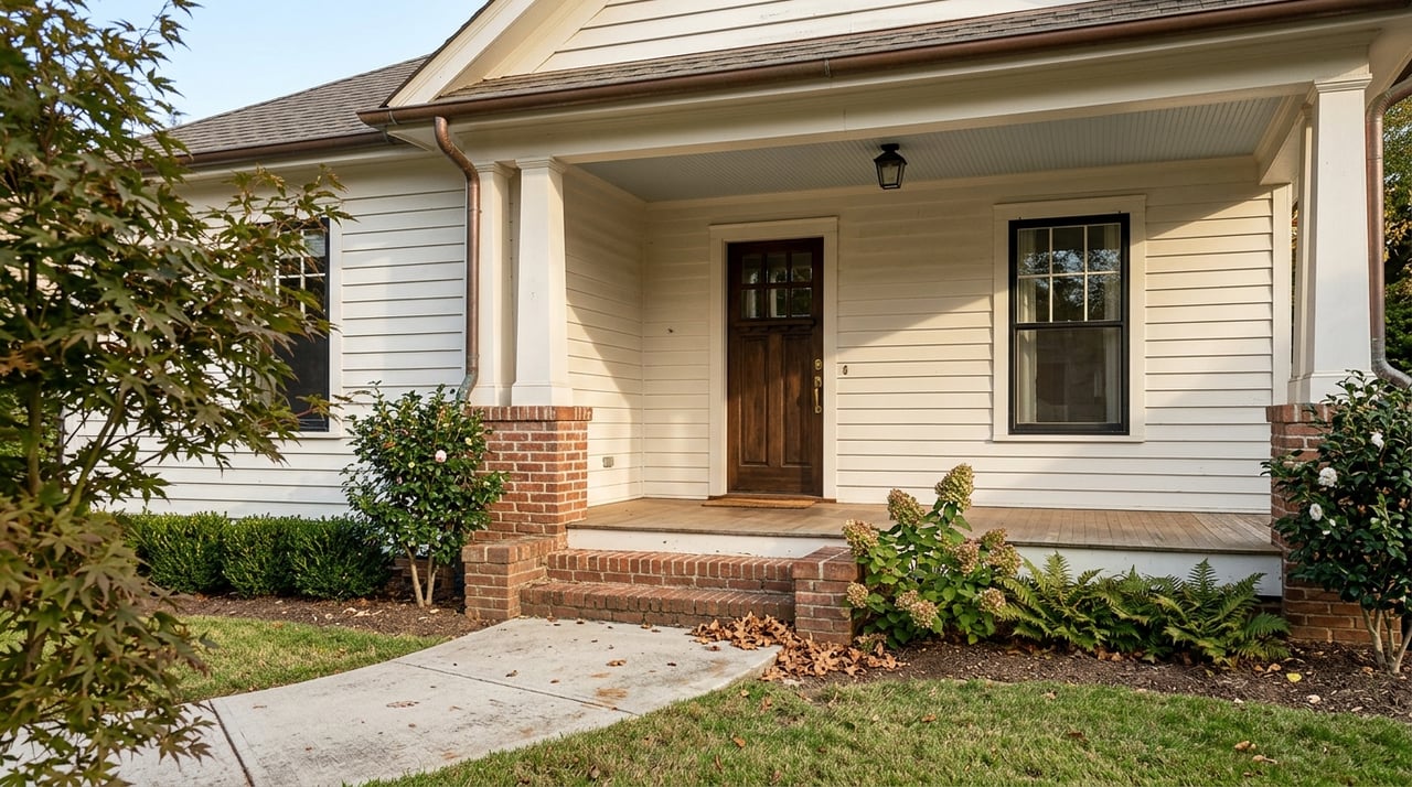
Love the idea of morning coffee on Lake Guntersville? Before you make an offer, know exactly which flood zone your future home sits in. In a reservoir town like Guntersville, water levels are managed and maps matter to your loan, insurance, and long-term peace of mind. In this guide, you’ll learn how to check a property’s flood zone, what maps and lake data to use, and what to ask before you close. Let’s dive in.
Flood zones 101
FEMA maps label areas by flood risk. Special Flood Hazard Areas (SFHAs) are high risk and start with Zones A or V. Zones B, C, or X indicate moderate to low risk. SFHAs reflect a 1 percent annual chance event, often called the 100-year flood. You can review official definitions and map basics on FEMA’s site.
See FEMA’s flood zone definitions
These zone labels guide local permitting, insurance pricing, and many lender requirements. If a structure is in an SFHA and you use a federally regulated or federally backed mortgage, flood insurance is typically required.
Lake Guntersville factors
Lake Guntersville is a managed reservoir. The Tennessee Valley Authority (TVA) controls Guntersville Dam operations, publishes daily lake levels, and targets seasonal pool ranges. TVA lists a typical summer range around 594 to 595 feet and a minimum winter elevation near 593 feet, and the reservoir spans about 67,900 acres.
Check TVA’s Guntersville reservoir page
Because levels are managed, high inflows and controlled releases can raise water above seasonal norms during extreme weather. Backwater in coves and small embayments can extend risk farther inland than a simple shoreline buffer suggests. For a specific cove or peninsula, review the Flood Insurance Study (FIS) and base flood elevations for that panel.
Where to check your zone
FEMA Map Service Center
Use the FEMA Flood Map Service Center to search by property address. Download the current effective FIRM panel (a FIRMette) and the FIS report. Confirm the “effective” date and note whether any preliminary updates exist.
Search FEMA’s Map Service Center
AlabamaFlood map
Alabama’s Office of Water Resources provides a state viewer that shows regulatory and preliminary flood mapping. It is a helpful cross-check for countywide updates.
Local offices and records
Contact the Marshall County floodplain administrator and the City of Guntersville building department. Ask if an Elevation Certificate is on file, whether any Letters of Map Change affect the parcel, and whether a regulated floodway is present. FEMA’s notice about Marshall County flood maps lists the county point of contact and highlights recent public review periods.
See FEMA’s Marshall County map notice
TVA lake level context
TVA publishes daily levels and historical trends for Guntersville. Use that information to understand seasonal patterns and to add context to FEMA’s base flood elevations when evaluating shoreline, coves, and low-lying yards. Pair TVA data with the FIRM and FIS before you decide.
Buyer steps before you close
Pull the maps. Start with FEMA’s Map Service Center for the FIRMette and FIS. Cross-check on AlabamaFlood to see if preliminary updates could affect your panel.
Verify with local officials. Ask Marshall County and the City of Guntersville if an Elevation Certificate or Letter of Map Change exists and whether a floodway touches the parcel. Use local records as your tie-breaker.
Request seller documents. Ask for any prior FIRMette used at closing, existing Elevation Certificates, and any past flood claims or repairs. Then confirm details with the county.
Consider an Elevation Certificate. If none exists, a licensed surveyor or engineer can prepare one. Costs vary by site complexity. An EC often helps with insurance rating and future map change requests.
Explore a map change if eligible. If your structure or lot sits on high ground inside an SFHA, you may qualify for a Letter of Map Amendment or Revision.
Get flood insurance quotes early. Compare National Flood Insurance Program options with any available private policies. About one third of NFIP claims come from outside mapped high-risk areas, so consider coverage even if you are in Zone X.
Confirm lender requirements. Some lenders require flood insurance even outside SFHAs. Ask how your lender determines zones and how they handle lender-placed coverage.
Insurance and lender basics
The National Flood Insurance Program offers building and contents coverage with rates based on zone, elevation, and construction. Policies usually have a waiting period, and exceptions may apply when insurance is required at loan closing. Since many claims occur outside high-risk zones, you may still want coverage for extra protection.
Elevation Certificates can reduce premiums by documenting a higher first-floor elevation. Community programs like FEMA’s Community Rating System can also lower premiums when a community participates. Ask the county or city about current CRS status and local mitigation options.
Even with a FEMA Letter of Map Amendment, your lender may still require flood insurance as a contract condition. Being outside an SFHA does not eliminate risk, so weigh coverage as part of your long-term plan.
Watch for Marshall County map updates
Flood maps change. FEMA has recently engaged Marshall County in public review periods for updated maps. Always confirm whether your panel is effective, preliminary, or under appeal since a change can affect insurance requirements and closing timelines.
Check the Marshall County FEMA notice
Quick buyer checklist
- Pull the FIRMette and FIS for the address and confirm the effective date.
- Compare AlabamaFlood to spot preliminary changes that could impact your panel.
- Ask the county and city for any Elevation Certificate, LOMAs, or floodway details.
- Review TVA lake levels and seasonal ranges for context on shoreline and coves.
- Get insurance quotes early and verify lender requirements in writing.
- If you suspect a mapping discrepancy, talk to a surveyor about an EC and possible LOMA.
Ready to shop lake property with confidence? Get local, hands-on guidance from Scott Hindsman and make a clear plan before you write your offer.
FAQs
How do I find the flood zone for a Lake Guntersville address?
- Search the property on FEMA’s Map Service Center for the FIRMette, review the FIS, and confirm details with Marshall County or the City of Guntersville. The AlabamaFlood viewer is a helpful cross-check.
If the map shows an SFHA in Guntersville, will my lender require flood insurance?
- If your structure is in an SFHA and you use a federally regulated or federally backed mortgage, lenders typically require flood insurance. Some lenders may also require it outside SFHAs.
Can a Guntersville property be removed from the SFHA?
- Possibly. If elevation data shows the structure or lot is at or above the base flood elevation, a FEMA Letter of Map Amendment or Revision may remove it from the SFHA after review.
What should I ask a seller of a Guntersville lake house?
- Ask for any Elevation Certificate, prior flood insurance policies, past flood claims or repairs, and any Letters of Map Change or permits for shoreline work, then verify with local officials.
Do TVA daily lake levels change flood risk at my lake house?
- TVA manages reservoir levels with seasonal targets, and extreme inflows can push levels above typical ranges. Review TVA level history alongside FEMA maps and local high-water records for a fuller picture.